
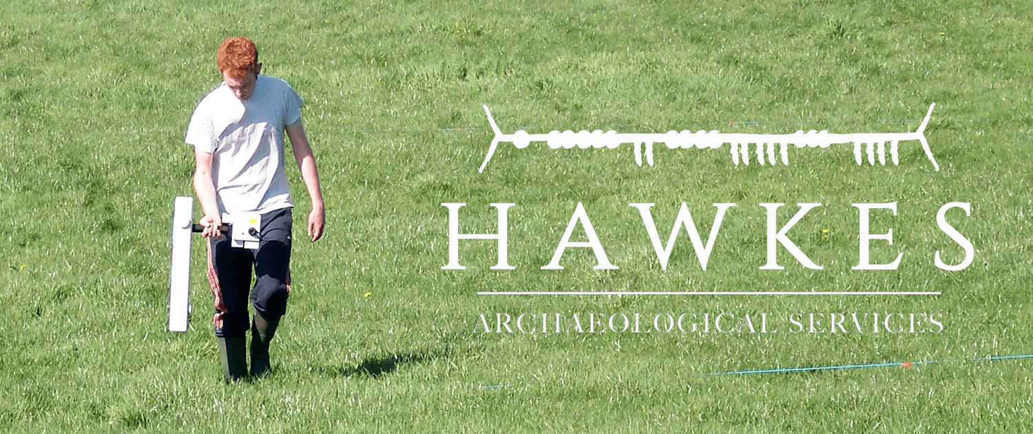
Our pre-planning services also include geophysical survey using techniques such as resistivity, gradiometer, susceptibility and GPR, providing sample and blanket surveys used to identify any potential subsurface archaeological deposits and features prior to any proposed developments. Geophysical surveys can sometimes be included as part of an archaeological assessment for both small and large-scale projects. We also have extensive expertise in aerial photography using state-of-the art drone and Go-Pro technology and together with expertise in topographical survey, photogrammetry and digital terrain modelling, can produce high quality imagery for a range of purposes. We also have training in Lidar processing.
Licenced Archaeological Services
Hawkes Archaeological Services are fully licenced by the Department of Arts, Heritage, Regional, Rural and Gaeltacht Affairs to carry out such Archaeological excavations
